Mapping Honesdale

Thirteen maps of Honesdale, Pennsylvania dating from 1776, by Claude Sauthier which is a copy of a print by The Williamsburg Foundation, to a 2006 map by MAPQUEST are included in this exhibit to hang in the Reed Case for 2006. Also included is a map that may be the “first map ever made of Honesdale" and the 1872 map by F.W. Beers & Co. from the Atlas of Wayne County, Penn. Copies of the later are available for purchase in our Museum Shop and on-line.
Past Exhibits
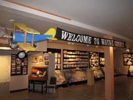
A Walk through Wayne County

The Artistic Vision of Howard Becker
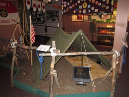
Boy Scout Troop 1 Honesdale

2023 New Exhibits at the Wayne County Historical Society
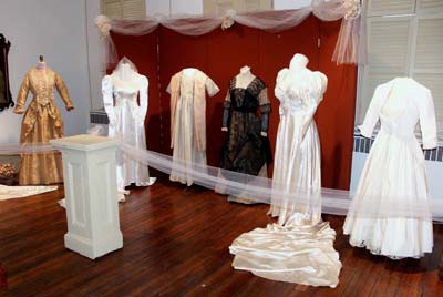
Here Comes the Bride is an exhibit of eleven wedding gowns and related items dating from the 1850’s…
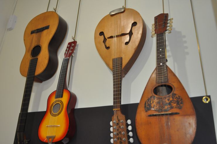
The Artistic Vision of Howard Becker

Thirteen maps of Honesdale, Pennsylvania dating from 1776
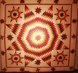
Stitches in Time

The Artistic Vision of Howard Becker
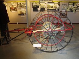
The History of Firefighting in Wayne County
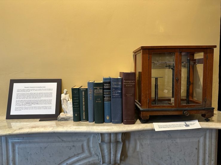
The Artistic Vision of Howard Becker
The Wayne County Experience
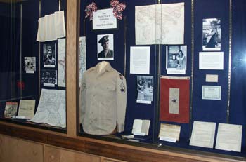
Edgar Pohle, the son of a well-known Honesdale merchant, was born on his mother's birthday, May 7,…
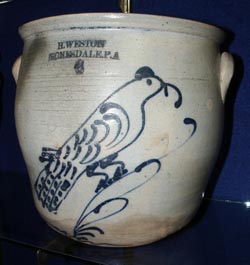
Weston Stoneware is a small temporary but interesting exhibit containing nineteen beautiful pieces…
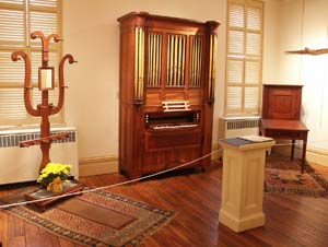
Beginning in 1851, Robert Lovelass started making the organ entirely by hand with the exception of…
Permanent Exhibits

The History Lab is a fun and informative way for families to learn about Wayne county History. Kids…
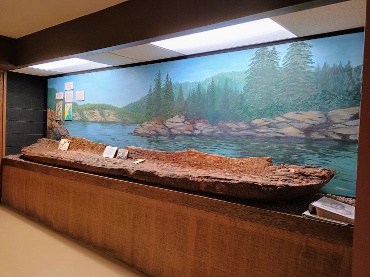
The Faces in Clay exhibit originally opened in 1995 in the lower level of the 810 Main Street,…
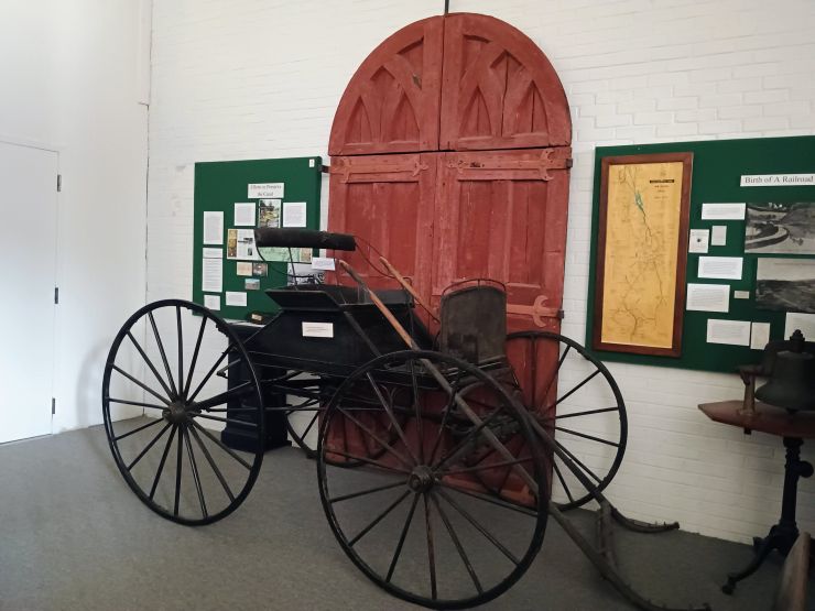
Movin' Energy: The History of the Delaware and Hudson Canal 1828-1898 exhibit is housed in the 1993…
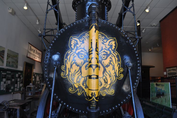
In 1827 the Delaware and Hudson Canal Company began to investigate the use of the steam engine for…
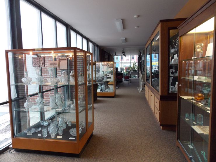
The society's entire glass collection is again on exhibit after five years in storage and pieces on…
News and Events

May 1, 2025, 11:59 PM
The nominations for Historic Preservation Awards are currently open until May 1, 2025.

May 3, 2025, 11:59 PM
Step into history and fun at the Wayne County Historical Society's Spring Open House—an…
May 7, 2025, 11:59 PM
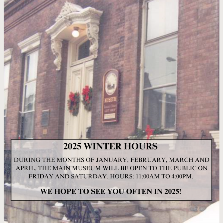
2025 Seasonal Hours and Spring Open House at the Main Museum
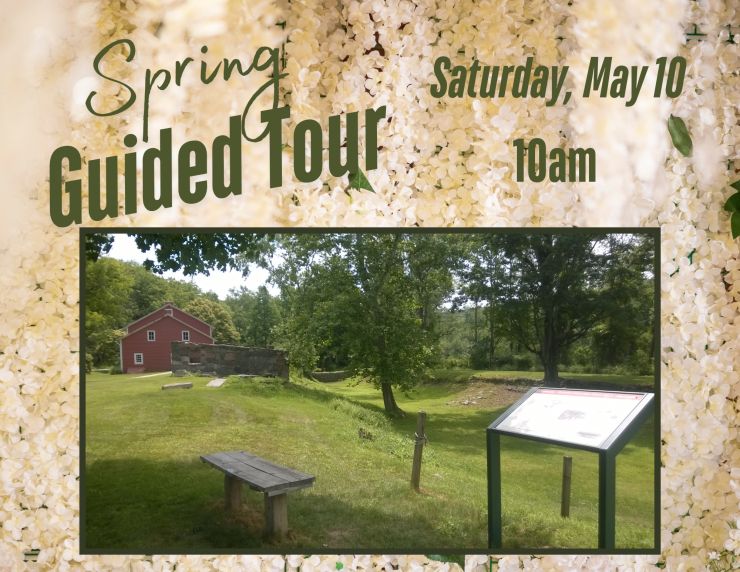
May 10, 2025, 10:00 AM
Join us for an immersive guided tour through the historic D&H Canal Park at Lock 31! Experience the…
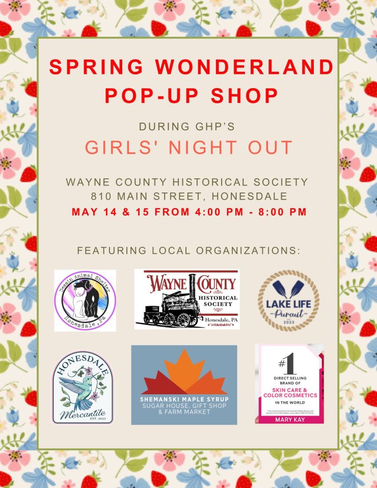
May 15, 2025, 10:00 AM
Grab your besties and make your way to downtown Honesdale for Girls Night Out on May 14th and May…
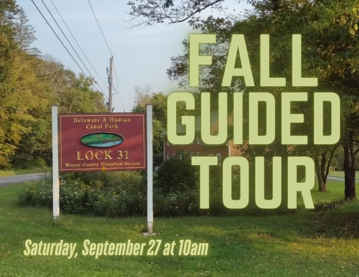
Sep 27, 2025, 10:00 AM
Join us for an immersive guided tour through the historic D&H Canal Park at Lock 31! Experience the…
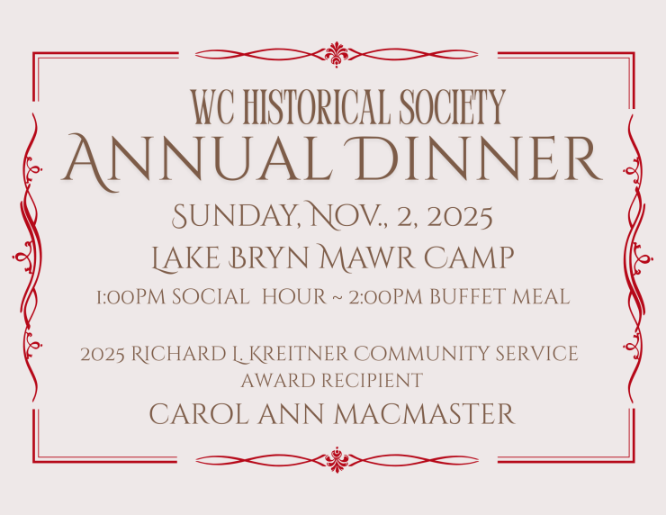
Nov 2, 2025, 1:00 PM
Carol Ann MacMaster of Equinunk will be honored with the 2025 Richard L Kreitner Award for…
Dec 21, 2025, 5:00 PM
Join us on Sunday, December 21st at 5:00 PM at D&H Canal Park, Lock 31 (179 Texas Palmyra Highway,…
